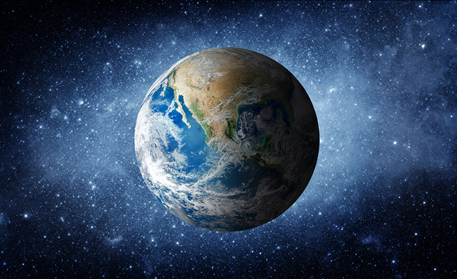
The Google is equipping Google Earth a new lease on life with its greatest update in some four years. The digital globe surveying app is gaining an expanded timelapse mode. It now allows users to view the changes to our planet across nearly four decades.
The feature collates a reported 24 million satellite photographs since 1985 and plots them on a 4D sphere of Earth. The previous update pushed back in 2016 utilized only five million images. That’s quite a buff to Google Earth’s timelapse feature, which was first introduced in 2013.
Users can pick specific places on the planet to view or zoom out completely and watch the world change. As the timelapse feature obeys Google Earth’s usual mechanics, too, so you can pan, zoom, and search for specific places across the globe.
Google Earth timelapse: “Largest video of the planet”
Google Earth has always been a fun way to visualize the world. But the timelapse puts into perspective the change the planet has undergone. The data doesn’t showcase all the bad news, either. Some regions have come under tremendous stress. But the timelapse also highlights the beauty of our celestial home.
Google notes that the timelapse is now “the largest video on the planet, of our planet.” Google has uploaded some 800 4K clips for those wanting even more detail concentrating on specific regions. These can be downloaded or viewed on YouTube in 2D or 3D. It’s best to view these if you have time to spare — they’re brief, but you’ll lose hours watching them back to back.